« Observation techniques and analysis methods for water management in Mediterranean agricultural watersheds »
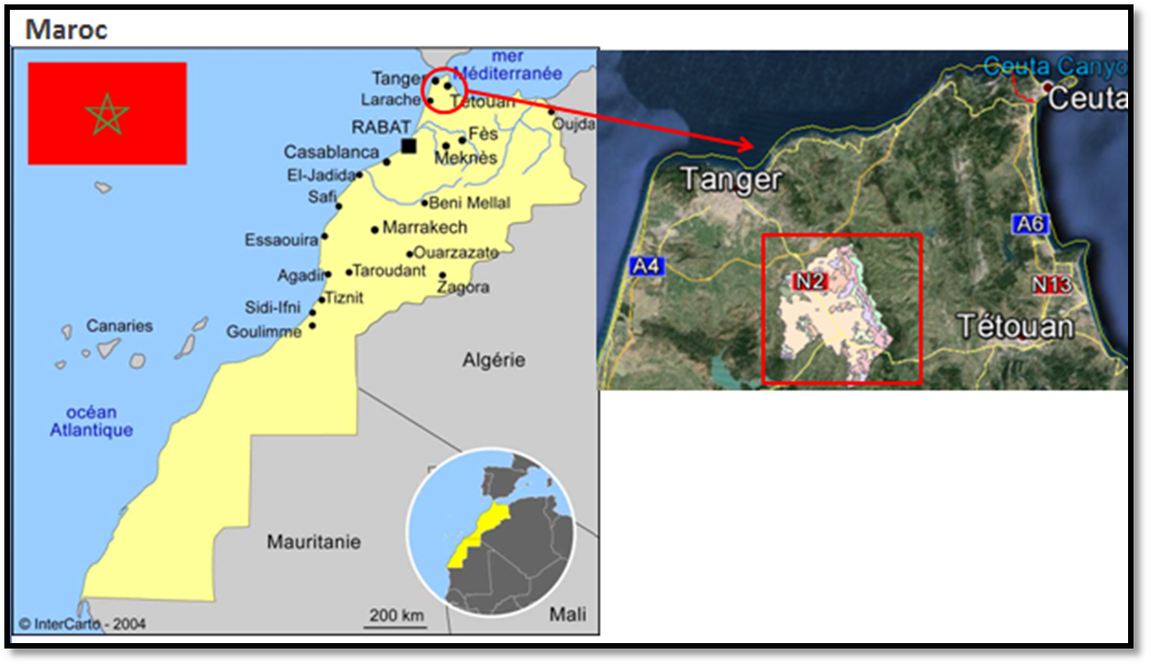
The Tleta watershed
The Tleta watershed is located within the Western Rif, Northern Morocco, midway between the Tangier and Tetouan main cities. The catchment is mainly rural. It includes an urban center that grows under the influence of automotive industry.
The Tleta watershed covers an area of 17,700 hectares (about 180 km2). The average altitude is 171 m, and average slopes of 16%. Elevation is larger than 100 m above sea level for 60% of the watershed area. The population density in the region is important, about 76 inhabitants / km2.
The basin climate is influenced by the Azores anticyclone. It is a Mediterranean sub-humid climate with mild winters, including a dry season from May to September and a wet period from October to March.
Agricultural activity is an important socio-economic driver within the. This is all the more important that the agricultural sector at the national scale provides 50% of employment and accounts for 17% of the GDP.
In terms of landscape mosaics, the Tleta catchment is characterized by rainfed agriculture, large hydro-agricultural infrastructures, and large erosion driven gulches (the region is a worldwide erosion hotspot). When dealing with land use, cereals account for 67% of the cultivated area, legumes for 17%, forage for 9% and vegetable crops for 7%. When dealing with hydro-agricultural development, the Ibn Battuta dam was built in 1977 at the catchment outlet. Its an initial storage capacity of 45 Mm3 is currently reduced to 30 Mm3 because of an annual silting rate representing 1% of the dam volume.
In terms of landscape mosaic evolution, the basin experiences a reduction in cereal-growing areas (decrease of 20% over 1987-2002) for the benefit of arboriculture (increase of 85 % over 1987-2002) and olive growing (an increase of 55 % over 1987-2002). The erosion processes, already significant because of the region geomorphological features, is enhanced by the increased number of abandoned lands and badlands (an increase of 70% over 1987-2002).
 |
|
|
|