« Observation techniques and analysis methods for water management in Mediterranean agricultural watersheds »
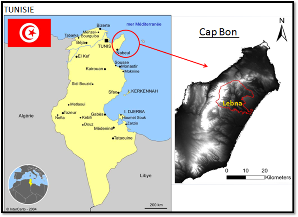
Lebna watershed
The Lebna watershed (210 km2) is located within an agricultural area in the northern part of the Cap Bon Peninsula, Tunisia. The catchment is 90% rural; and depicts a steep hilly relief.
The Jebel Abderrahmane is the western limit and the upstream part of the Lebna Catchment. It is covered by scrubland and forest (maximum altitude 650 m). The central part of the catchment depicts hilly reliefs and is mainly covered by associations of mixed cultures and rangelands (average altitude 350 m). The eastern and downstream part of the catchment is a quite flat area and is covered by annual crops and orchards (altitude around sea level).
The climate forcing within the basin ranges from wet regime at the top of the Jebel, with rainfall over 700 mm / year, to semi-arid regime over the eastern part, with rainfall below 500 mm / year and evaporative demand around 1200 mm.
The Lebna watershed is located within an agricultural region that includes intensive vegetable farming and fruit cultivation. The region spreads over 4% of the Tunisian agricultural lands, and it provides around 16% of the agricultural production.
In terms of landscape mosaics, the Lebna watershed is characterized by (1) a typical land use with mixed cultures and rangelands, and (2) several hydro-agricultural infrastructures for preserving water and soil resources. When dealing with land use, we note field crops (cereals, legumes), fodder crops, grazing lands, and olive growing. When dealing with hydro-agricultural infrastructures, we note:
- the Lebna dam built in 1987 at the catchment outlet, which is the largest dam in the Cap Bon Peninsula with an initial capacity of 30 Mm3;
- a network of about 20 hilly reservoirs upstream to the Lebna dam, which were built between 1994 and 2003 to reduce dam silting, to refill shallow aquifers and to supply irrigated perimeters;
- a small reforested area on the foothills of the Djebel within the upstream part of the watershed, to reduce soil loss by erosion.
These infrastructures were implemented within the framework of various policies conducted by the Tunisian ministry of agriculture to preserve water and soil resources.
In terms of landscape mosaics evolution, we observe an intensification of the agricultural activities, in relation to the opportunities provided by water resources mobilization.
 |
|
|
|